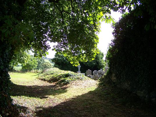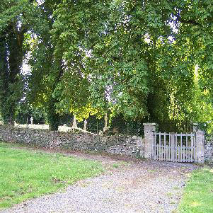


The entrance to Moyaliff Graveyard

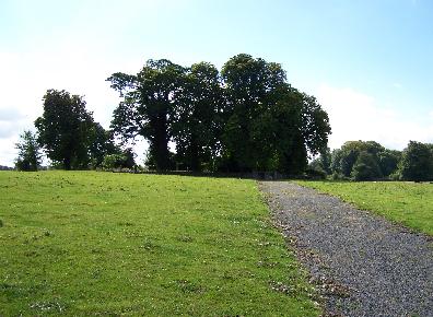
A view of Moyaliff Graveyard from the north road - looking south

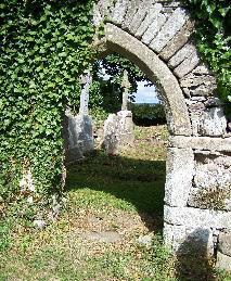
This is a view through a doorway in the south wall of the chapel. On the left are four gravestones from members of the McGrath family. The close proximity of the stones would indicate that the individuals were related. (Click the picture to enlarge)
Above is a view of the Moyaliff Graveyard on the southside of the chapel looking northwest. The small crosses in the foreground are placed next to stones that served as grave markers. Many of these are not gravestones that have deteriorated over time but are actual rocks. They were probably placed there by families that were too poor to afford a real gravestone. (Click the picture to enlarge)

Moyaliff Cemetery
Map Coordinates: S 043 559
Moyaliff Civil Parish
Moyaliff Graveyard is situated in the northern most section of the townland of Moyaliff in the civil parish of Moyaliff. To the east rises Moyaliff Hill and all the inscriptions of the gravestones face this hill and the rising sun.
According to the AINT (Archaeological Inventory of North Tipperary) "Architectural fragments have been reused as grave-markers including a window jamb outside the S wall of the church."
On the 1840 Ordnance Survey map the church was described as "in ruins" at that time.
Copyright © 2006 - Michael F. McGraw
|
Upperchurch Connections |
What's New? |
|||
|
|
||||
  |
||||