

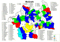
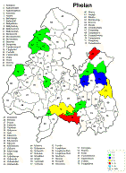
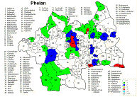
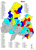
Tipperary Surname Distribution Maps ~1851
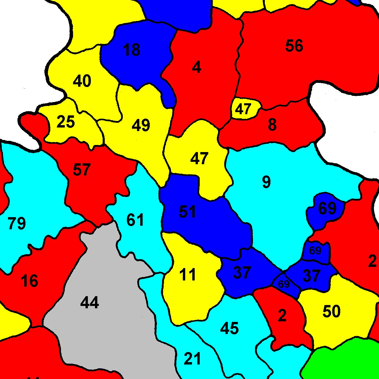
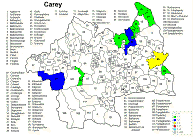
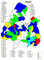
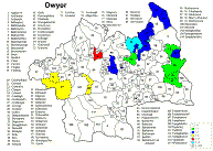
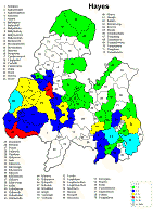
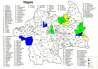
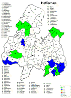
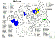
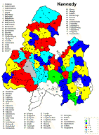
This source recorded only the head of the household so it isn't possible to get a true head count as would be expected with a real census. It was published in 1851, although the information was gathered 2-3 years earlier. The data source is the Griffith's Valuation Index CD and therefore suffers from all the omissions found with the CD and the double counting found in the Griffith's Valuation itself.
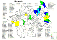
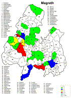
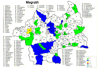
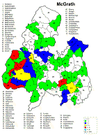
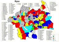
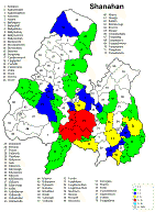
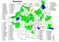
Despite these short comings the resulting maps are still very useful for finding concentrations of a given surname. The scale divisions were selected to enhance the regions where no individuals of a given surname were found. These zero areas are locations where there is very little probability of finding an ancestor or relative and that can help focus your search on other more promising areas.
Irish geography presents special problems such as multipart counties (North & South Riding), multipart parishes (up to 5 in one county) and parish names that repeat in the different parts of the county. Everything has been sorted out except the multipart parishes in a given portion (Riding) of the county. The same count is applied to each portion because it wasn't possible to find a database that would allow the sorting of the townlands among the different parts of the parish
At present only the Co. Tipperary map has been analyzed and measured and fully incorporated into the program.
Sources:
The basic maps are from Brian Mitchell's excellent publication: A New Genealogical Atlas of Ireland.
The Griffith's Valuation information came from the CD Database: Index to Griffith's Valuation of Ireland, 1848-1864, from Heritage World & the Genealogical Publishing Co., Inc.
|
|
Co. Tipperary North | Co. Tipperary South |
| Burke |
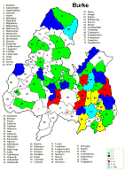 |
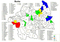 |
| Carey |
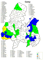 |
 |
| Dwyer |
 |
 |
| Hayes |
 |
 |
| Heffernan |
 |
 |
| Kennedy |
 |
 |
| Magrath |
 |
 |
| McGrath |
 |
 |
| Phelan |
 |
 |
| Ryan |
 |
 |
| Shanahan |
 |
 |
Copyright © 2006 - Michael F. McGraw
|
Upperchurch Connections |
What's New? |
|||
|
|
||||
  |
||||