Plans For The Pier
Specifications for the proposed New Structure at the Lake on Exhibition
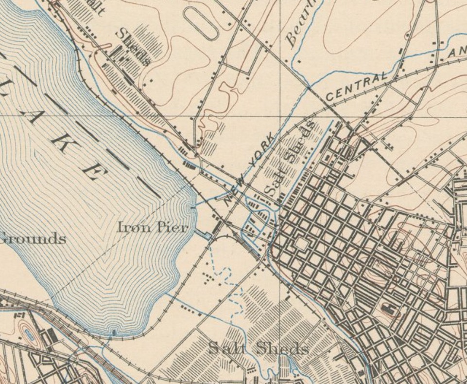
Plans and specifcations for a new pier at the lake are now open to inspection at the office of the People's Railroad Company on Wolf street in the First Ward. The new business venture is in the hands of the Iron Pier Company of Utica, who will in addition to the pier, excavate and dredge for a convenient and suitable harbor. The site selected extends from the terminus of North Salina street, southward along the Central Hudson freight track. An embankment 620 feet long by 40 feet in height will be built up to the level of Salina street from the crossing to Onondaga creek. On the embankment a pavillion 500 feet in length and 30 feet in width will be erected. It will be constructed of Georgia pine, and will be elegant architectural design. From the center of the pavillion will rise a tower, with builler(??) tows at either end of the structure. At the southern end of the pier, a breakwater will be constructed of piling and will extend 600 feet out into the lake, on one side of which a deep basin will be dredged, forming a convenient harbor for the anchorage of craft.
The plans and specifications will be open for inspection till Wednesday noon, October 9, until which time bids for doing the work will be received.
The Syracuse Courier, Syracuse, NY, October 1, 1889

%20Ad.jpg)
