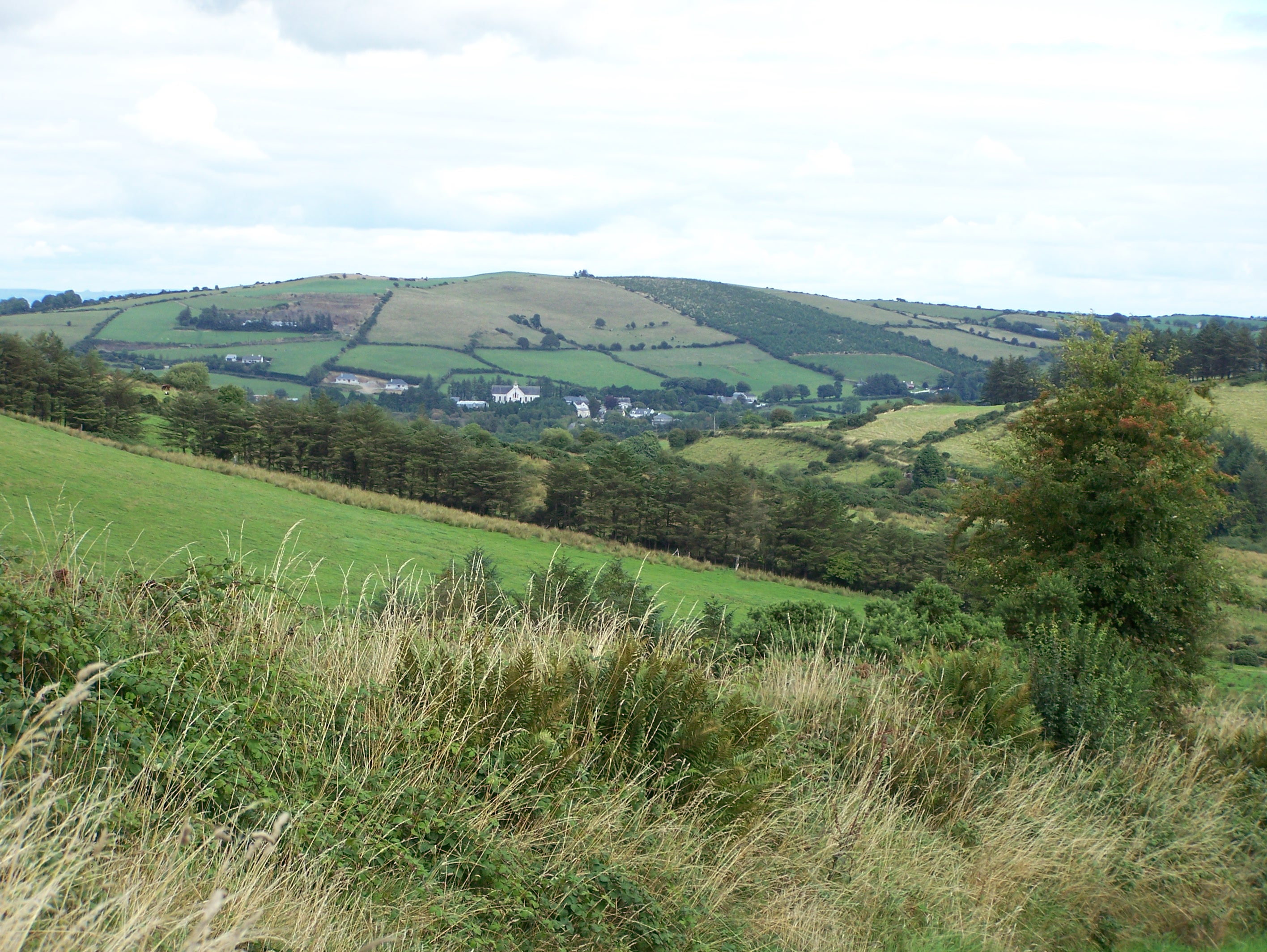
The Village of Upperchurch Viewed From the
West
Where They Came From
On the right above is a view of the Village of Upperchurch
from the hills of the townland of Gleninchnaveigh to the west of the village. Click on the image to obtain a larger version.
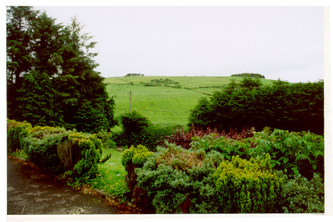
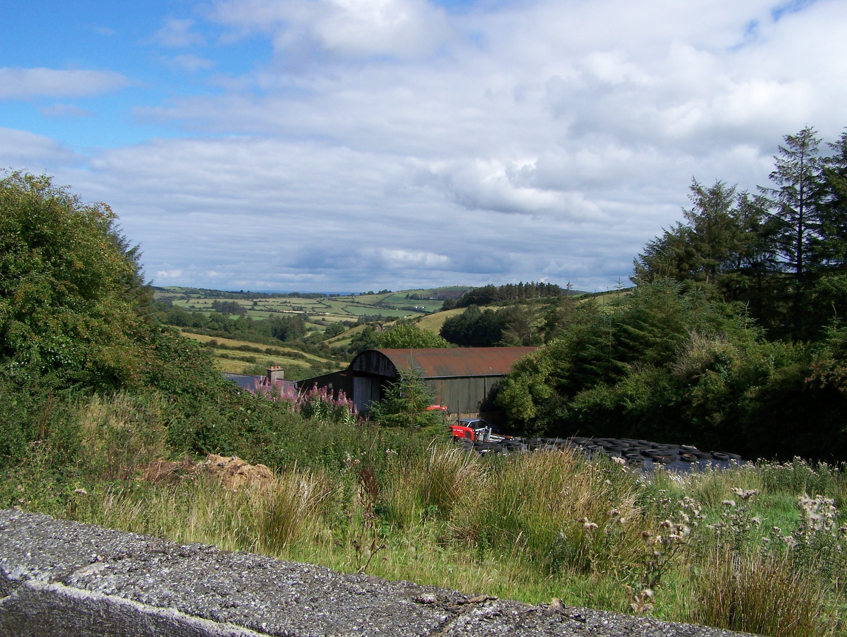
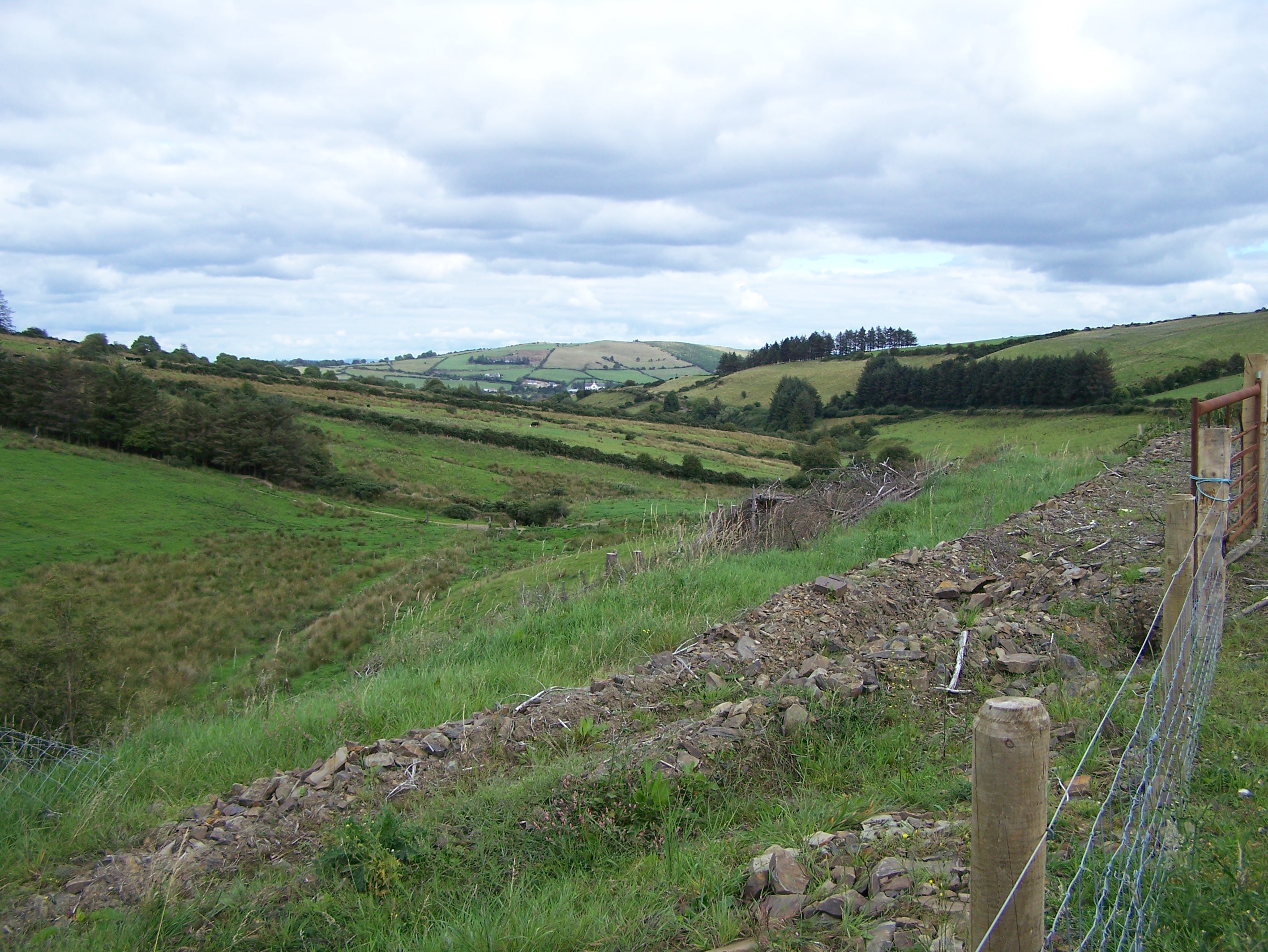
Below is a view of the townland of Gleninchnaveigh (Glown) just west of the village of Upperchurch. Several of the Ryans on the Upperchurch list have ties back to this townland.
Information on many of these families can be found in the larger document, The McGrath Family of Truxton, New York. If in addition the individual name in the list in the sidebar to the left is underlined then there is an additional and more detailed document also available
on that family.
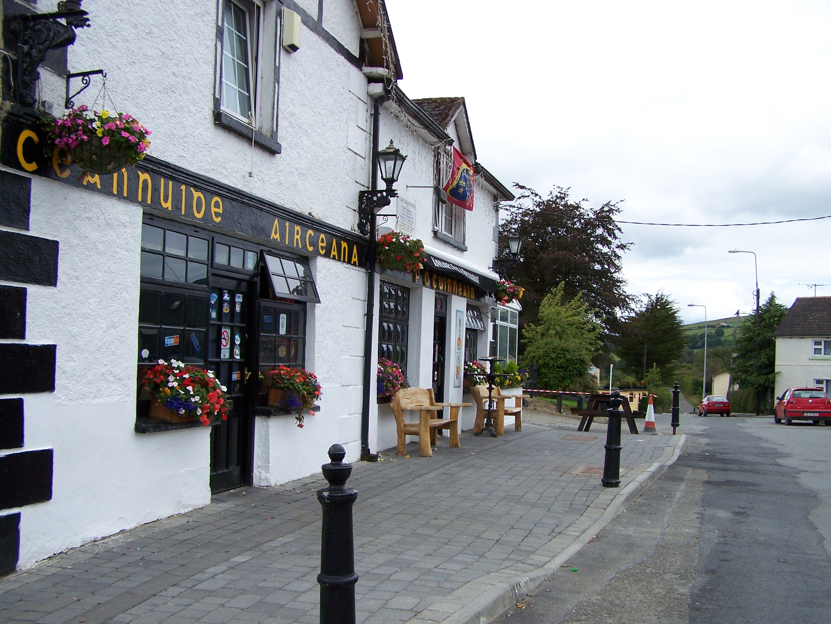
The Village of Upperchurch
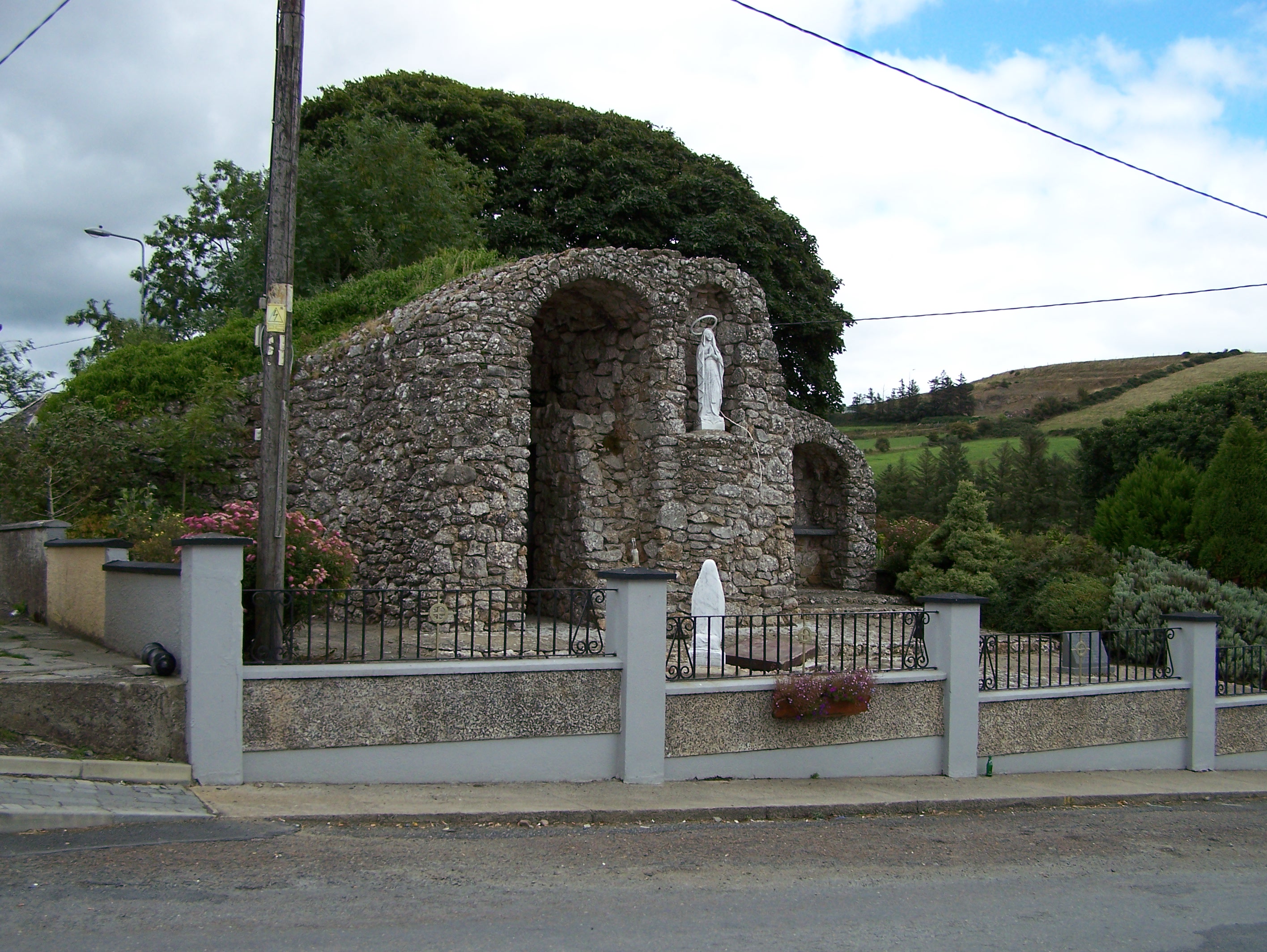
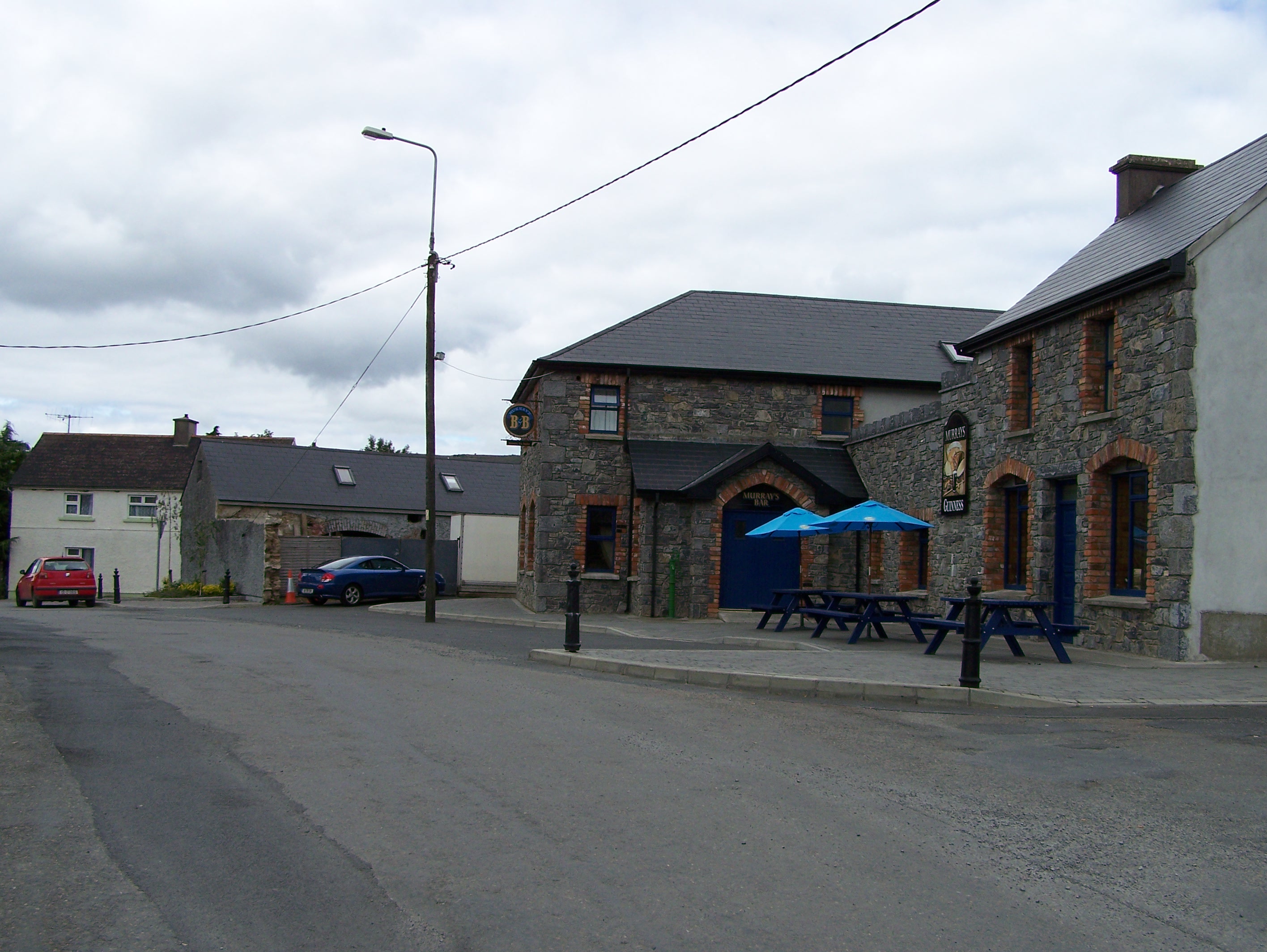
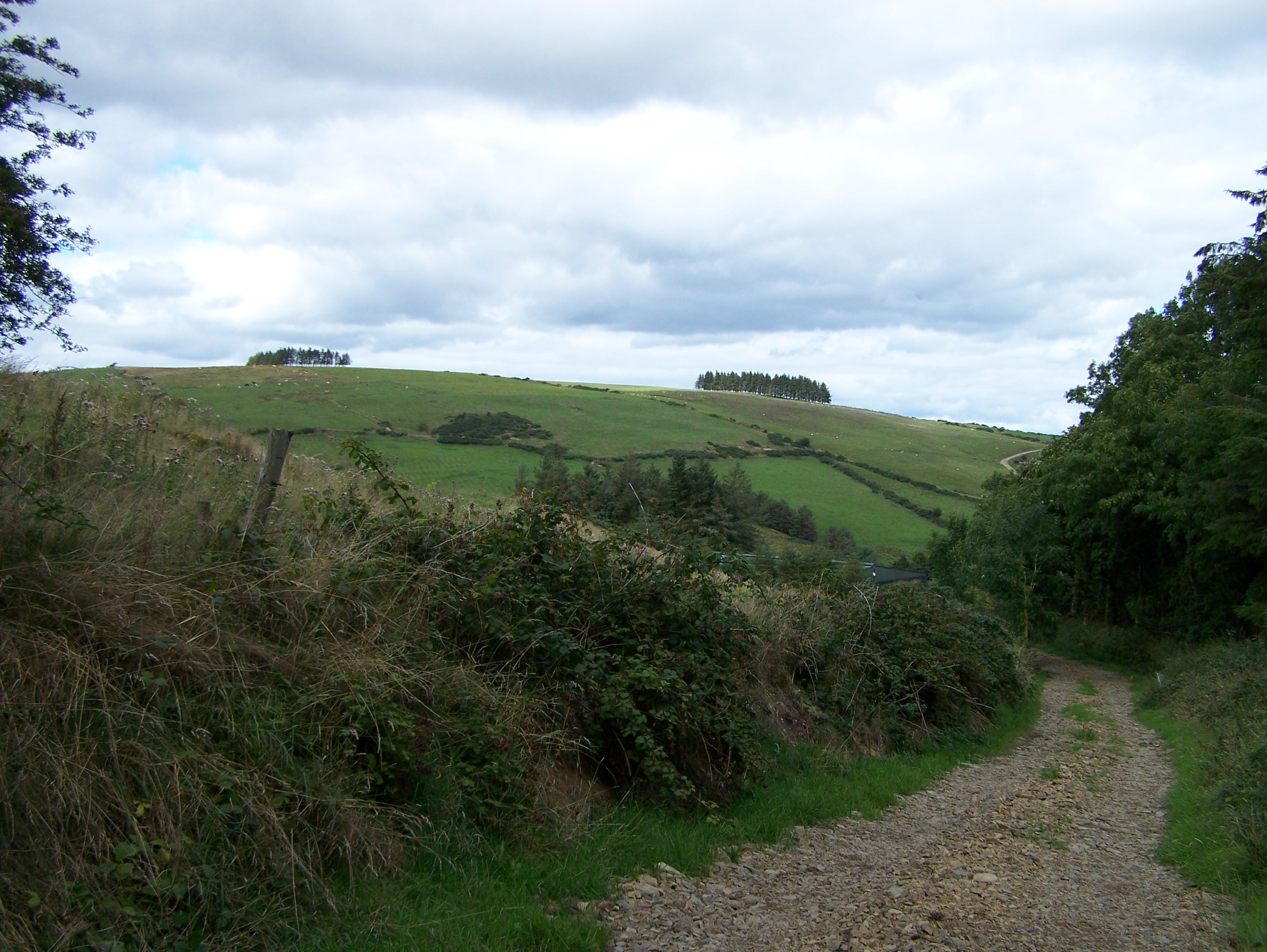
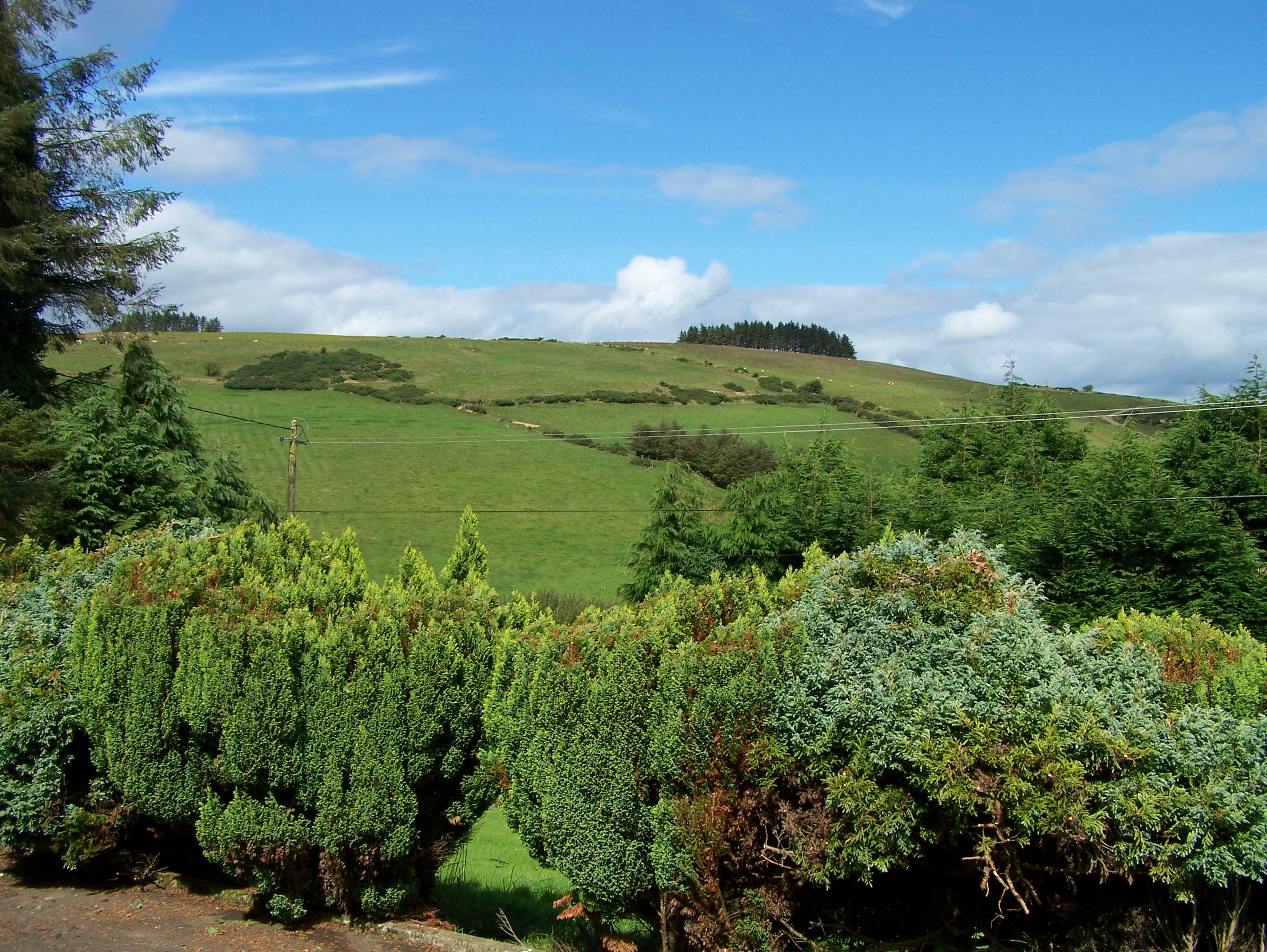
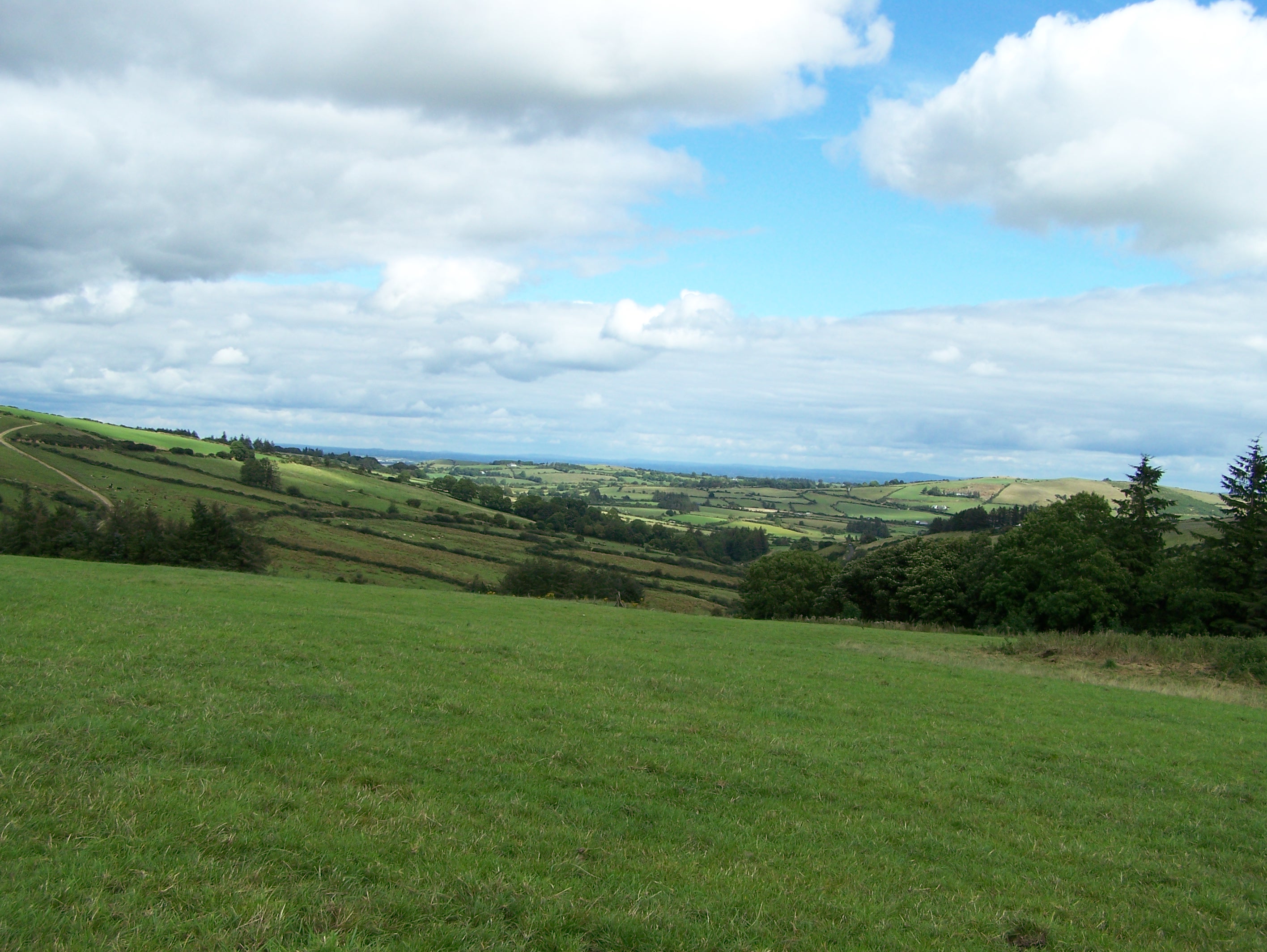
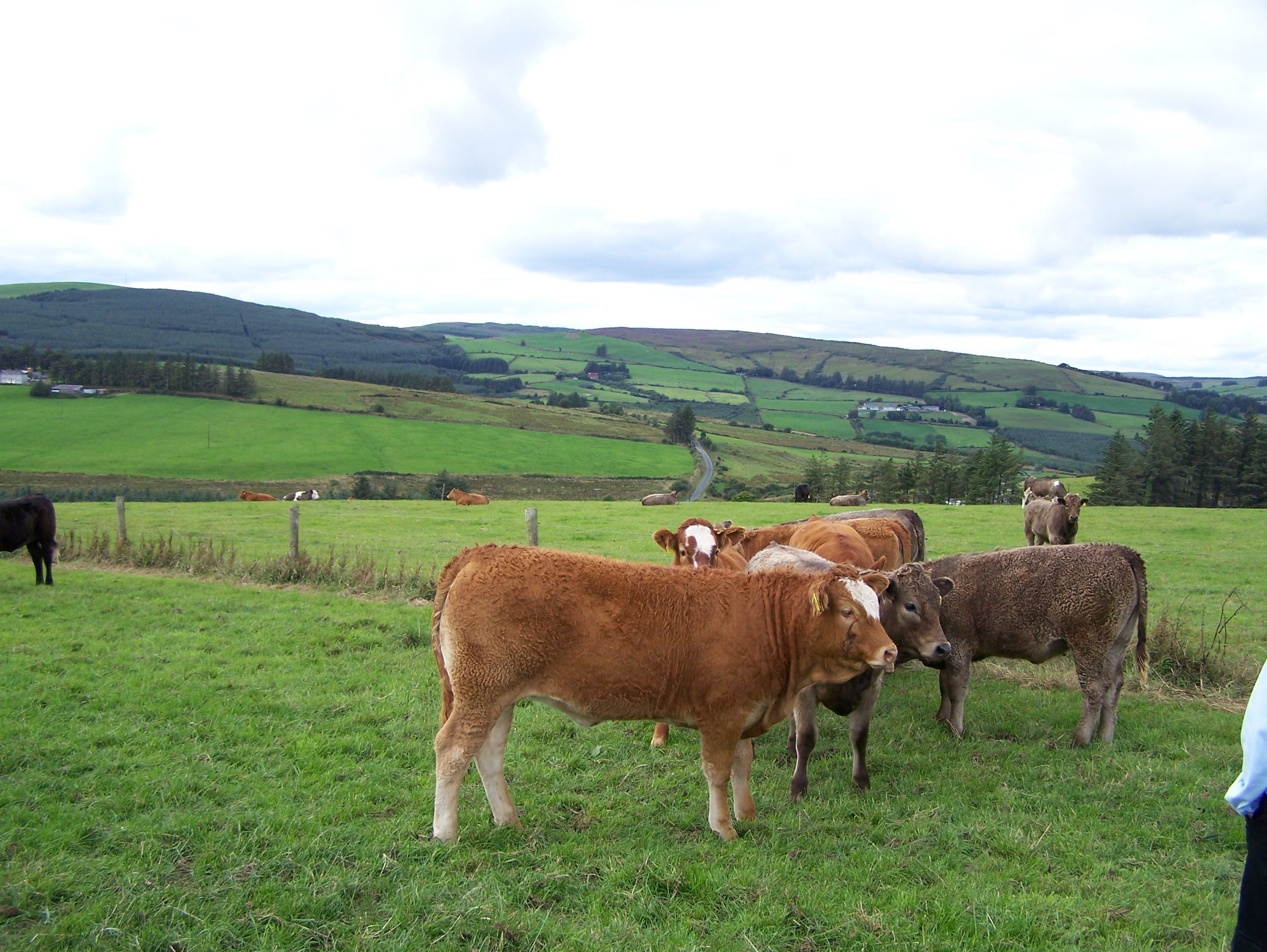
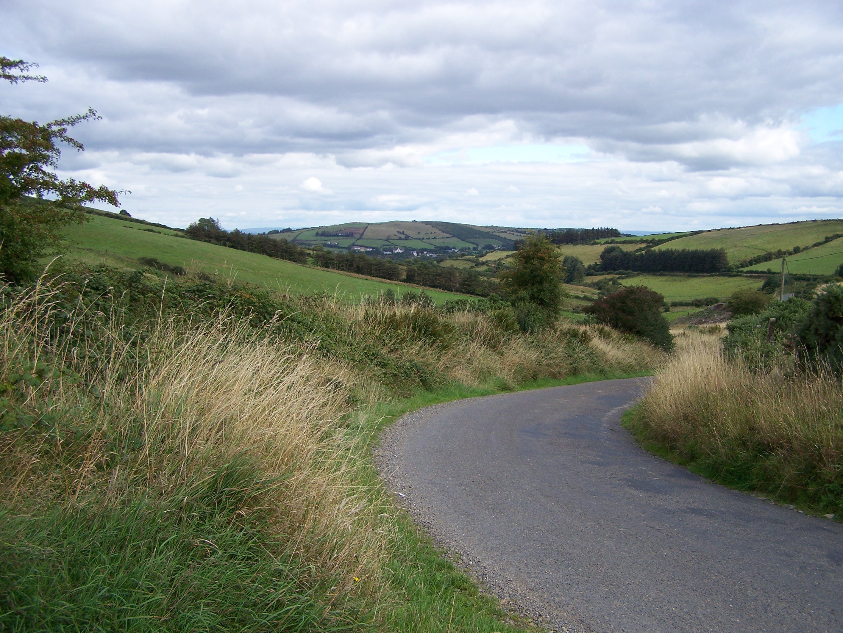
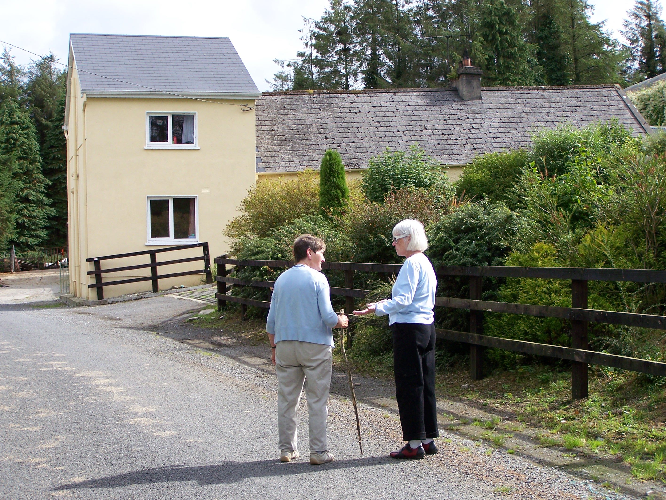
The pictures below were taken in August 2006 during a recent trip to Ireland. The first five pictures were taken in the village of Upperchurch itself. The next three were taken in Gleninchnaveigh (Glown), a few km west of the village. In the third row, the first two were taken from a hill top in Knockcurraghbola Commons which is a townland that borders Glown on the south. The last five pictures were taken in Glown, looking east, on the west road out of Upperchurch. In several of them you can see the village in the background. Click on the images below to enlarge them - click on the enlargement and they will get bigger still.
Copyright © 2006 - Michael F. McGraw